Road across Luppitt Common
Introduction
The photograph on this page of Road across Luppitt Common by Derek Harper as part of the Geograph project.
The Geograph project started in 2005 with the aim of publishing, organising and preserving representative images for every square kilometre of Great Britain, Ireland and the Isle of Man.

There are currently over 7.5m images from over 14,400 individuals and you can help contribute to the project by visiting https://www.geograph.org.uk
Road across Luppitt Common
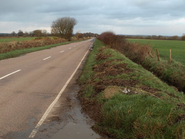
Image: © Derek Harper Taken: 26 Jan 2012
The map suggests that there is access land on either side of the road here, as might befit a common, but the ditch and fence suggest that access may not be straightforward. View from the start of the farm road to Windsor Farm.
Images are licensed for reuse under creativecommons.org/licenses/by-sa/2.0
Image Location
Latitude
50.855692
Longitude
-3.201431