Down the hill
Introduction
The photograph on this page of Down the hill by Michael Dibb as part of the Geograph project.
The Geograph project started in 2005 with the aim of publishing, organising and preserving representative images for every square kilometre of Great Britain, Ireland and the Isle of Man.

There are currently over 7.5m images from over 14,400 individuals and you can help contribute to the project by visiting https://www.geograph.org.uk
Down the hill
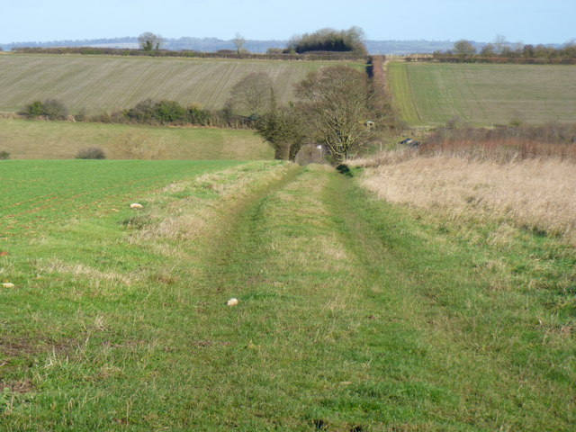
Image: © Michael Dibb Taken: 27 Nov 2011
The track descends Westcote Hill into the valley of Coombe Brook. The A424 road is hidden behind the hedge on the ridge.
Images are licensed for reuse under creativecommons.org/licenses/by-sa/2.0
Image Location


Leaflet Map data © OpenStreetMap
Latitude
51.871965
Longitude
-1.693918