Field bordering Bevan's Lane, Sebastopol
Introduction
The photograph on this page of Field bordering Bevan's Lane, Sebastopol by Jaggery as part of the Geograph project.
The Geograph project started in 2005 with the aim of publishing, organising and preserving representative images for every square kilometre of Great Britain, Ireland and the Isle of Man.

There are currently over 7.5m images from over 14,400 individuals and you can help contribute to the project by visiting https://www.geograph.org.uk
Field bordering Bevan's Lane, Sebastopol
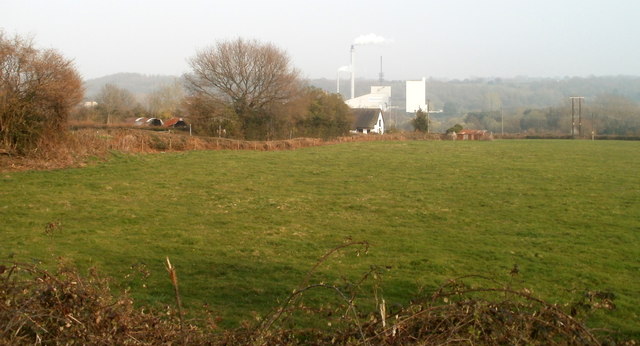
Image: © Jaggery Taken: 26 Mar 2011
Viewed from the towpath of the disused Monmouthshire & Brecon canal. The line of low hedges on the left marks the course of Bevan's Lane. The distant smoky chimneys are in the Knauf site. http://www.geograph.org.uk/photo/1577012
Images are licensed for reuse under creativecommons.org/licenses/by-sa/2.0
Image Location
Latitude
51.67269
Longitude
-3.025241