A635 to Wakefield
Introduction
The photograph on this page of A635 to Wakefield by Martin Lee as part of the Geograph project.
The Geograph project started in 2005 with the aim of publishing, organising and preserving representative images for every square kilometre of Great Britain, Ireland and the Isle of Man.

There are currently over 7.5m images from over 14,400 individuals and you can help contribute to the project by visiting https://www.geograph.org.uk
A635 to Wakefield
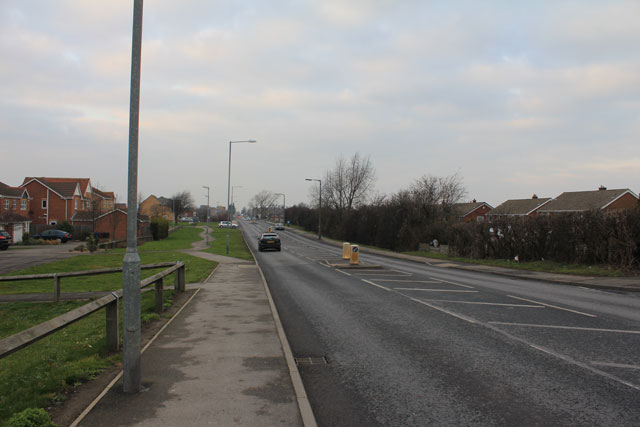
Image: © Martin Lee Taken: 31 Jan 2012
On the left is a new housing estate built upon land that once housed a depot/reapair centre for Blackwood Hodge.
Images are licensed for reuse under creativecommons.org/licenses/by-sa/2.0
Image Location
Latitude
53.566775
Longitude
-1.462893