Through The Pylon
Introduction
The photograph on this page of Through The Pylon by Keith Evans as part of the Geograph project.
The Geograph project started in 2005 with the aim of publishing, organising and preserving representative images for every square kilometre of Great Britain, Ireland and the Isle of Man.

There are currently over 7.5m images from over 14,400 individuals and you can help contribute to the project by visiting https://www.geograph.org.uk
Through The Pylon
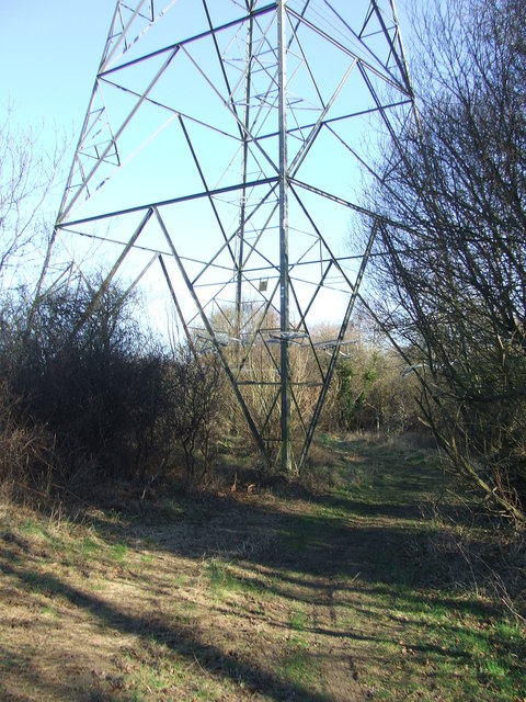
Image: © Keith Evans Taken: 2 Feb 2012
Footpath going through the base of a pylon near to Upper Layham, Suffolk.
Images are licensed for reuse under creativecommons.org/licenses/by-sa/2.0
Image Location
Latitude
52.034458
Longitude
0.986824