Junction of Pevensey Road and the North Circular Road
Introduction
The photograph on this page of Junction of Pevensey Road and the North Circular Road by David Howard as part of the Geograph project.
The Geograph project started in 2005 with the aim of publishing, organising and preserving representative images for every square kilometre of Great Britain, Ireland and the Isle of Man.

There are currently over 7.5m images from over 14,400 individuals and you can help contribute to the project by visiting https://www.geograph.org.uk
Junction of Pevensey Road and the North Circular Road
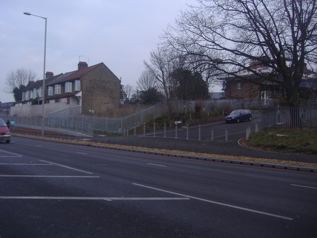
Image: © David Howard Taken: 31 Jan 2012
This stretch has just been widened in late 2011 and as a result decided to shut off Pevensey Road in the process. The whole row of houses from these to the junction of Bounds Green Road was bought by the council for widening and then sold back by mayor Ken Livingstone when he arrived in 2003. Some appear to be occupied further along but these may well be refurbished once the work is completely finished.
Images are licensed for reuse under creativecommons.org/licenses/by-sa/2.0
Image Location
Latitude
51.614341
Longitude
-0.129162