Manchester Arch
Introduction
The photograph on this page of Manchester Arch by David Dixon as part of the Geograph project.
The Geograph project started in 2005 with the aim of publishing, organising and preserving representative images for every square kilometre of Great Britain, Ireland and the Isle of Man.

There are currently over 7.5m images from over 14,400 individuals and you can help contribute to the project by visiting https://www.geograph.org.uk
Manchester Arch
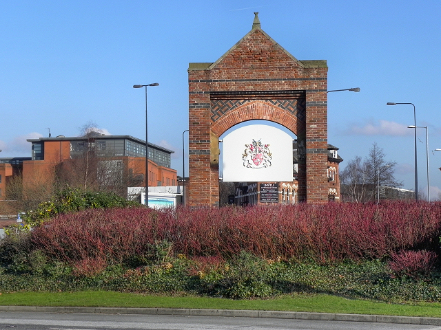
Image: © David Dixon Taken: 1 Feb 2012
This brick archway, at the junction of Chester Road and Bridgewater Way, marks the boundary between the borough of Trafford and the City of Manchester. From this side, we see the Manchester coat of arms. From the other side, we would see the Trafford coat of arms.
Images are licensed for reuse under creativecommons.org/licenses/by-sa/2.0
Image Location
Latitude
53.46926
Longitude
-2.265996