Track to Highland House
Introduction
The photograph on this page of Track to Highland House by Nigel Mykura as part of the Geograph project.
The Geograph project started in 2005 with the aim of publishing, organising and preserving representative images for every square kilometre of Great Britain, Ireland and the Isle of Man.

There are currently over 7.5m images from over 14,400 individuals and you can help contribute to the project by visiting https://www.geograph.org.uk
Track to Highland House
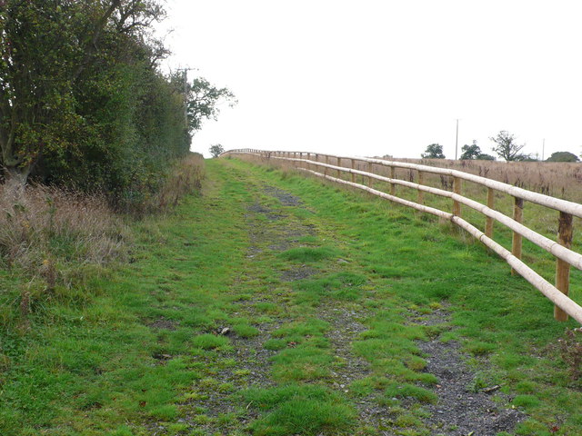
Image: © Nigel Mykura Taken: 9 Oct 2011
This track running between the hedgerow and a recently fenced off fallow field leads up to the barns at the rear of the house. The main drive to the house is off the Pinley to Five Ways road.
Images are licensed for reuse under creativecommons.org/licenses/by-sa/2.0
Image Location
Latitude
52.312562
Longitude
-1.681796