The end of Granny's Path
Introduction
The photograph on this page of The end of Granny's Path by Graham Horn as part of the Geograph project.
The Geograph project started in 2005 with the aim of publishing, organising and preserving representative images for every square kilometre of Great Britain, Ireland and the Isle of Man.

There are currently over 7.5m images from over 14,400 individuals and you can help contribute to the project by visiting https://www.geograph.org.uk
The end of Granny's Path
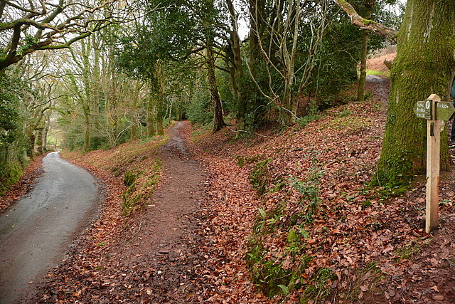
Image: © Graham Horn Taken: 29 Dec 2011
Granny's Path heads to the right behind the tree, above Halse Combe then through Horner Wood. The path ahead is not named, but it is the route of the Coleridge Way, a 36-mile route through North Somerset following a possible journey to Porlock taken by Samuel Taylor Coleridge. The lane leads down into West Luccombe.
Images are licensed for reuse under creativecommons.org/licenses/by-sa/2.0
Image Location
Latitude
51.203193
Longitude
-3.584341