The Bright Road
Introduction
The photograph on this page of The Bright Road by Eric Jones as part of the Geograph project.
The Geograph project started in 2005 with the aim of publishing, organising and preserving representative images for every square kilometre of Great Britain, Ireland and the Isle of Man.

There are currently over 7.5m images from over 14,400 individuals and you can help contribute to the project by visiting https://www.geograph.org.uk
The Bright Road
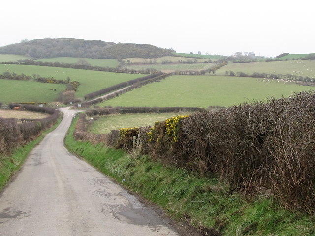
Image: © Eric Jones Taken: 31 Jan 2012
In the middle ground the Bright Road crosses the Ballynoe Road, while in the background, to the right of the whin crowned hill, are Castle Bright and Bright CoI Parish Church.
Images are licensed for reuse under creativecommons.org/licenses/by-sa/2.0
Image Location
Latitude
54.265196
Longitude
-5.700386