Traffic lights at the Roundabout
Introduction
The photograph on this page of Traffic lights at the Roundabout by Bill Nicholls as part of the Geograph project.
The Geograph project started in 2005 with the aim of publishing, organising and preserving representative images for every square kilometre of Great Britain, Ireland and the Isle of Man.

There are currently over 7.5m images from over 14,400 individuals and you can help contribute to the project by visiting https://www.geograph.org.uk
Traffic lights at the Roundabout
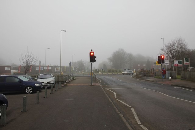
Image: © Bill Nicholls Taken: 29 Jan 2012
View towards the Roundabout on Lower Broadway. This used to be the site of the railway bridge that took the Didcot, Newbury and Southampton Railway. The road was also lower and dipped as it went under the bridge. Jobes Dairy would have been to the right where Roebuck Court is today.
Images are licensed for reuse under creativecommons.org/licenses/by-sa/2.0
Image Location


Leaflet Map data © OpenStreetMap
Latitude
51.606685
Longitude
-1.232322