Marine marker off Fortrose
Introduction
The photograph on this page of Marine marker off Fortrose by Julian Paren as part of the Geograph project.
The Geograph project started in 2005 with the aim of publishing, organising and preserving representative images for every square kilometre of Great Britain, Ireland and the Isle of Man.

There are currently over 7.5m images from over 14,400 individuals and you can help contribute to the project by visiting https://www.geograph.org.uk
Marine marker off Fortrose
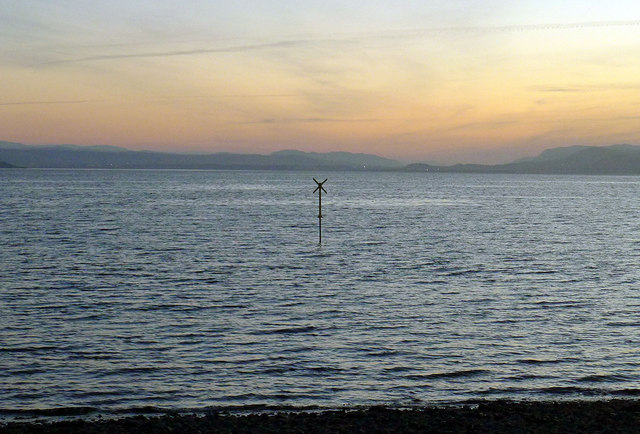
Image: © Julian Paren Taken: 1 Feb 2012
The sun had set, a wind had started up after a very calm day, and a cold frosty night was in prospect. There was no indication of what lay beneath the marker or what extended out to it from the shore despite it being low tide.
Images are licensed for reuse under creativecommons.org/licenses/by-sa/2.0
Image Location
Latitude
57.577775
Longitude
-4.113888