Rawdon, Yorkshire: Town Street
Introduction
The photograph on this page of Rawdon, Yorkshire: Town Street by Dr Neil Clifton as part of the Geograph project.
The Geograph project started in 2005 with the aim of publishing, organising and preserving representative images for every square kilometre of Great Britain, Ireland and the Isle of Man.

There are currently over 7.5m images from over 14,400 individuals and you can help contribute to the project by visiting https://www.geograph.org.uk
Rawdon, Yorkshire: Town Street
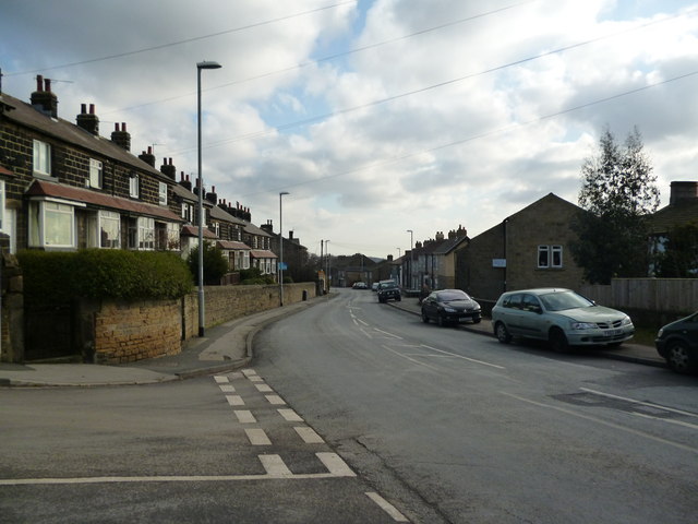
Image: © Dr Neil Clifton Taken: 1 Feb 2012
Taken looking east from the extreme western end of Town Street, Wentworth Terrace is on the left. Town Street continues eastward past St. Peter's Parish Church, becoming Layton Road then, at Lane Ends, Brownberrie Road and leading to Horsforth.
Images are licensed for reuse under creativecommons.org/licenses/by-sa/2.0
Image Location
Latitude
53.85012
Longitude
-1.672997