Former parochial building opposite Castle Bright
Introduction
The photograph on this page of Former parochial building opposite Castle Bright by Eric Jones as part of the Geograph project.
The Geograph project started in 2005 with the aim of publishing, organising and preserving representative images for every square kilometre of Great Britain, Ireland and the Isle of Man.

There are currently over 7.5m images from over 14,400 individuals and you can help contribute to the project by visiting https://www.geograph.org.uk
Former parochial building opposite Castle Bright
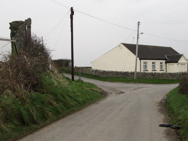
Image: © Eric Jones Taken: 31 Jan 2012
This building at the junction of Coniamstown Road and Bright Road was erected in the 1840s. Apart from the date the inscription above the door has been chiselled out, but it is likely that the building was a parochial school.
Images are licensed for reuse under creativecommons.org/licenses/by-sa/2.0
Image Location
Latitude
54.270523
Longitude
-5.687653