View of Railway to East Grinstead by St. Margaret's Loop
Introduction
The photograph on this page of View of Railway to East Grinstead by St. Margaret's Loop by Ed of the South as part of the Geograph project.
The Geograph project started in 2005 with the aim of publishing, organising and preserving representative images for every square kilometre of Great Britain, Ireland and the Isle of Man.

There are currently over 7.5m images from over 14,400 individuals and you can help contribute to the project by visiting https://www.geograph.org.uk
View of Railway to East Grinstead by St. Margaret's Loop
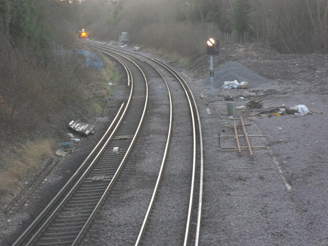
Image: © Ed of the South Taken: 1 Feb 2012
This is the view from the bridge on the footpath between Hackenden Lane and Charlswood Road, East Grinstead. The space on the right leading to what appears to be a channel of woodland used to be the St. Margaret's loop, track which linked East Grinstead's low level platforms (present day) to now demolished high level platforms.
Images are licensed for reuse under creativecommons.org/licenses/by-sa/2.0
Image Location
Latitude
51.133413
Longitude
-0.014736