Woodland near Sturminster Marshall
Introduction
The photograph on this page of Woodland near Sturminster Marshall by Nigel Mykura as part of the Geograph project.
The Geograph project started in 2005 with the aim of publishing, organising and preserving representative images for every square kilometre of Great Britain, Ireland and the Isle of Man.

There are currently over 7.5m images from over 14,400 individuals and you can help contribute to the project by visiting https://www.geograph.org.uk
Woodland near Sturminster Marshall
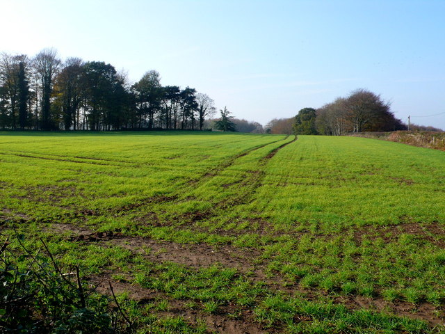
Image: © Nigel Mykura Taken: 15 Nov 2011
View from close to the junction of the A31 and Dullars Lane. The A31 is on the right behind the hedge. The woods on the right are Lion Lodge Woods (named after Lion Gate on the Drax estate) and those on the left, Warren's plantation.
Images are licensed for reuse under creativecommons.org/licenses/by-sa/2.0
Image Location
Latitude
50.787299
Longitude
-2.085915