Top (north) end of Church Street, Bedwas
Introduction
The photograph on this page of Top (north) end of Church Street, Bedwas by Jaggery as part of the Geograph project.
The Geograph project started in 2005 with the aim of publishing, organising and preserving representative images for every square kilometre of Great Britain, Ireland and the Isle of Man.

There are currently over 7.5m images from over 14,400 individuals and you can help contribute to the project by visiting https://www.geograph.org.uk
Top (north) end of Church Street, Bedwas
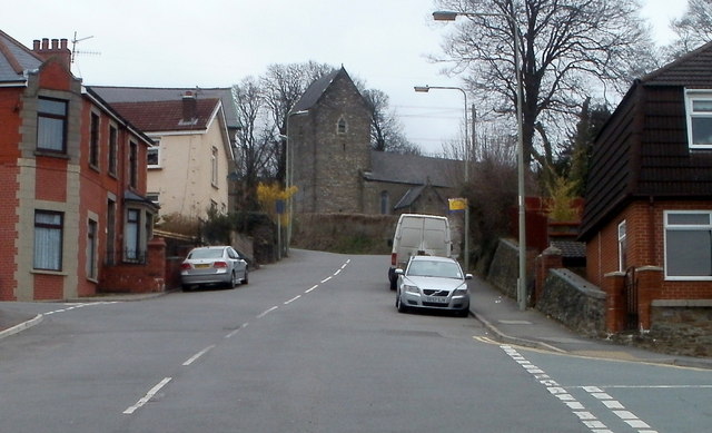
Image: © Jaggery Taken: 5 Mar 2011
Near the end of a long ascent from Newport Road, Church Street approaches St Barrwg's church. http://www.geograph.org.uk/photo/2787312
Images are licensed for reuse under creativecommons.org/licenses/by-sa/2.0
Image Location
Latitude
51.594624
Longitude
-3.198165