Rowan Close, Rochdale
Introduction
The photograph on this page of Rowan Close, Rochdale by ethics girl as part of the Geograph project.
The Geograph project started in 2005 with the aim of publishing, organising and preserving representative images for every square kilometre of Great Britain, Ireland and the Isle of Man.

There are currently over 7.5m images from over 14,400 individuals and you can help contribute to the project by visiting https://www.geograph.org.uk
Rowan Close, Rochdale
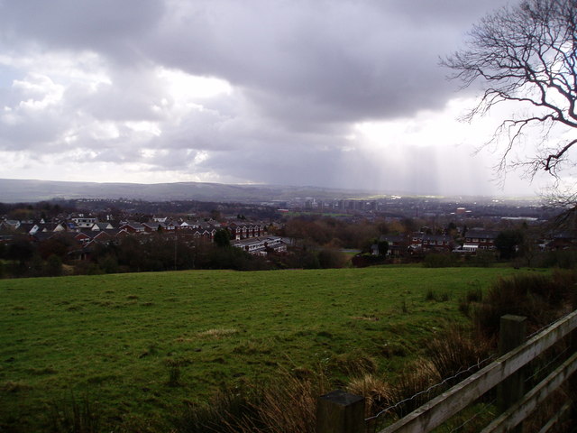
Image: © ethics girl Taken: 3 Mar 2008
View of houses in Rowan Close and Stonehill Road from Fern Hill. The 'Seven Sisters' tower blocks can be seen in the distance, with the Pennines and Peak District beyond.
Images are licensed for reuse under creativecommons.org/licenses/by-sa/2.0
Image Location
Latitude
53.63344
Longitude
-2.191415