Castlecary, viaduct
Introduction
The photograph on this page of Castlecary, viaduct by Robert Murray as part of the Geograph project.
The Geograph project started in 2005 with the aim of publishing, organising and preserving representative images for every square kilometre of Great Britain, Ireland and the Isle of Man.

There are currently over 7.5m images from over 14,400 individuals and you can help contribute to the project by visiting https://www.geograph.org.uk
Castlecary, viaduct
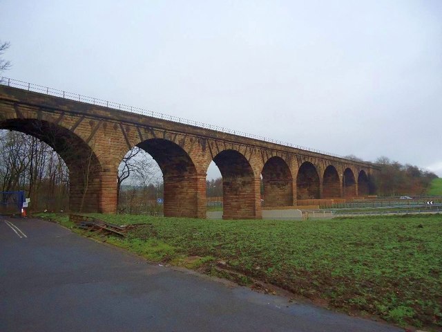
Image: © Robert Murray Taken: 28 Jan 2012
Known to motorists driving on the M80 as 'Castlecary Arches' this impressive Victorian built structure has carried the main Glasgow-Edinburgh railway line over the Red Burn since 1842. See RCAHMS record > http://canmore.rcahms.gov.uk/en/site/45861/details/castlecary+red+burn+railway+viaduct/
Images are licensed for reuse under creativecommons.org/licenses/by-sa/2.0
Image Location
Latitude
55.98114
Longitude
-3.944986