East Greendykes
Introduction
The photograph on this page of East Greendykes by Christopher Gillan as part of the Geograph project.
The Geograph project started in 2005 with the aim of publishing, organising and preserving representative images for every square kilometre of Great Britain, Ireland and the Isle of Man.

There are currently over 7.5m images from over 14,400 individuals and you can help contribute to the project by visiting https://www.geograph.org.uk
East Greendykes
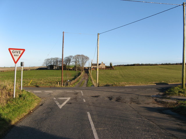
Image: © Christopher Gillan Taken: 14 Nov 2006
East Greendykes Farm at the junction of a minor road and B9023
Images are licensed for reuse under creativecommons.org/licenses/by-sa/2.0
Image Location
Latitude
57.590403
Longitude
-2.679099