Path and ancient tree in Manor Park Country Park
Introduction
The photograph on this page of Path and ancient tree in Manor Park Country Park by David Anstiss as part of the Geograph project.
The Geograph project started in 2005 with the aim of publishing, organising and preserving representative images for every square kilometre of Great Britain, Ireland and the Isle of Man.

There are currently over 7.5m images from over 14,400 individuals and you can help contribute to the project by visiting https://www.geograph.org.uk
Path and ancient tree in Manor Park Country Park
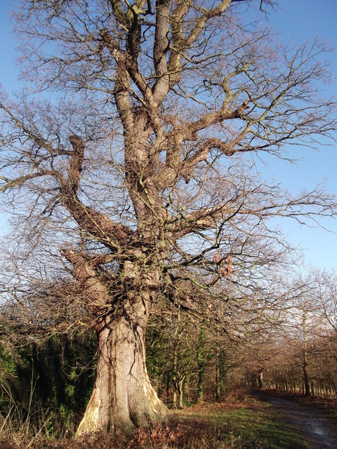
Image: © David Anstiss Taken: 26 Jan 2012
This path leads from Douce's Meadow around Abbey Field (on the right/beyond the hedge) towards Water Lane. Unsure if the tree is an oak or beech.
Images are licensed for reuse under creativecommons.org/licenses/by-sa/2.0
Image Location
Latitude
51.289764
Longitude
0.408939