Up the steps to Up The Steps Cottage, Pwllmeyric
Introduction
The photograph on this page of Up the steps to Up The Steps Cottage, Pwllmeyric by Jaggery as part of the Geograph project.
The Geograph project started in 2005 with the aim of publishing, organising and preserving representative images for every square kilometre of Great Britain, Ireland and the Isle of Man.

There are currently over 7.5m images from over 14,400 individuals and you can help contribute to the project by visiting https://www.geograph.org.uk
Up the steps to Up The Steps Cottage, Pwllmeyric
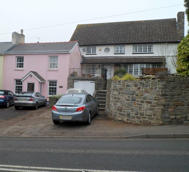
Image: © Jaggery Taken: 29 Jan 2012
The house on the right is Up The Steps Cottage. Viewed across the A48 between the turnings for Badgers Meadow and Pwllmeyric Close.
Images are licensed for reuse under creativecommons.org/licenses/by-sa/2.0
Image Location
Latitude
51.628338
Longitude
-2.697735