A4061 descends towards Treherbert
Introduction
The photograph on this page of A4061 descends towards Treherbert by Jaggery as part of the Geograph project.
The Geograph project started in 2005 with the aim of publishing, organising and preserving representative images for every square kilometre of Great Britain, Ireland and the Isle of Man.

There are currently over 7.5m images from over 14,400 individuals and you can help contribute to the project by visiting https://www.geograph.org.uk
A4061 descends towards Treherbert
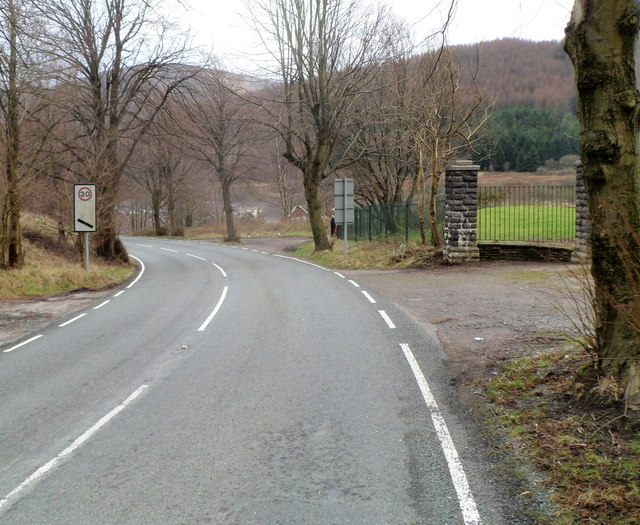
Image: © Jaggery Taken: 23 Jan 2012
From Hirwaun, the A4061 approaches a sign on the left giving advanced warning of a 30mph speed limit ahead. On the right is a track to a padlocked entrance to Treherbert RFC's rugby ground.
Images are licensed for reuse under creativecommons.org/licenses/by-sa/2.0
Image Location
Latitude
51.676956
Longitude
-3.540222