Information Board, Treherbert
Introduction
The photograph on this page of Information Board, Treherbert by Jaggery as part of the Geograph project.
The Geograph project started in 2005 with the aim of publishing, organising and preserving representative images for every square kilometre of Great Britain, Ireland and the Isle of Man.

There are currently over 7.5m images from over 14,400 individuals and you can help contribute to the project by visiting https://www.geograph.org.uk
Information Board, Treherbert
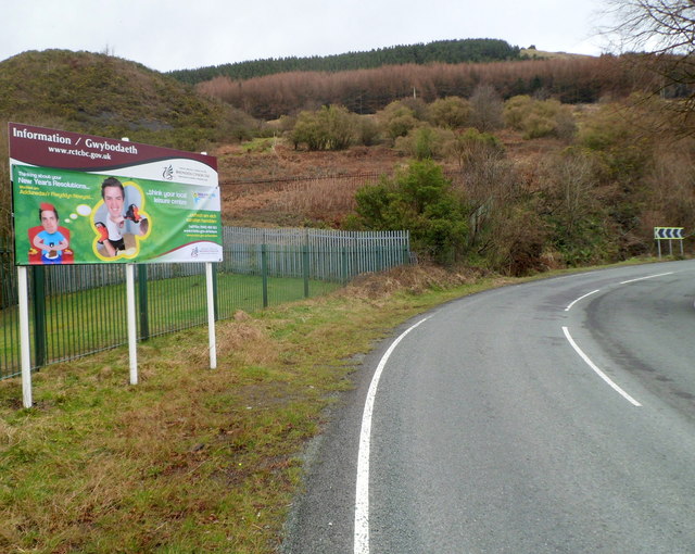
Image: © Jaggery Taken: 23 Jan 2012
The Rhondda Cynon Taf board faces the A4061 on its ascent away from residential Treherbert. Placed alongside the perimeter fence of the rugby ground used by Treherbert RFC, the board suggests that when thinking about your new year's resolutions, "think your local leisure centre".
Images are licensed for reuse under creativecommons.org/licenses/by-sa/2.0
Image Location
Latitude
51.677855
Longitude
-3.540253