Stubble field near Allesley
Introduction
The photograph on this page of Stubble field near Allesley by E Gammie as part of the Geograph project.
The Geograph project started in 2005 with the aim of publishing, organising and preserving representative images for every square kilometre of Great Britain, Ireland and the Isle of Man.

There are currently over 7.5m images from over 14,400 individuals and you can help contribute to the project by visiting https://www.geograph.org.uk
Stubble field near Allesley
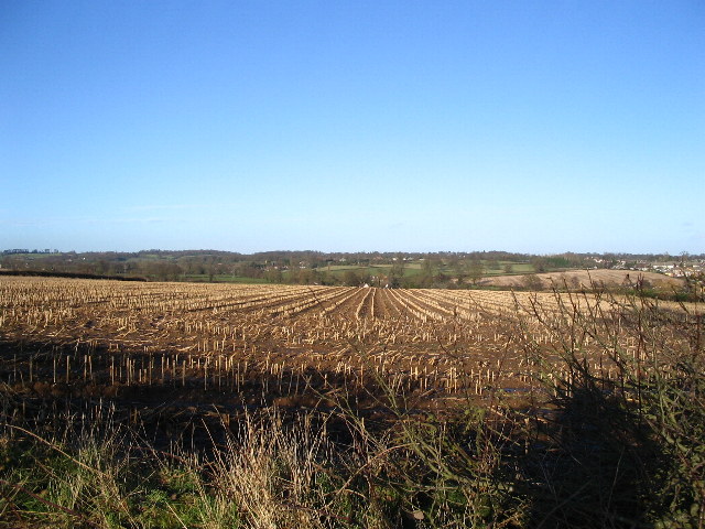
Image: © E Gammie Taken: 11 Feb 2007
Looking towards houses on Washbrook Lane at the bottom of the field and houses near Brownshill Green to the right. In 2012: http://www.geograph.org.uk/photo/2785050
Images are licensed for reuse under creativecommons.org/licenses/by-sa/2.0
Image Location


Leaflet Map data © OpenStreetMap
Latitude
52.43188
Longitude
-1.573421