A Public Path
Introduction
The photograph on this page of A Public Path by Roger Gilbertson as part of the Geograph project.
The Geograph project started in 2005 with the aim of publishing, organising and preserving representative images for every square kilometre of Great Britain, Ireland and the Isle of Man.

There are currently over 7.5m images from over 14,400 individuals and you can help contribute to the project by visiting https://www.geograph.org.uk
A Public Path
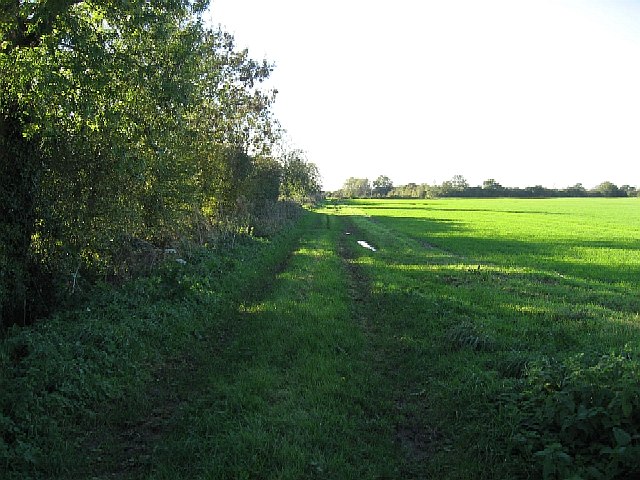
Image: © Roger Gilbertson Taken: 3 Nov 2006
Signposted as a Public Path, rather than as a Public Footpath, the Right of Way in the photograph runs only a short distance between Waite Farm (shown on some older maps as Weight Farm) and Quidney Farm.
Images are licensed for reuse under creativecommons.org/licenses/by-sa/2.0
Image Location


Leaflet Map data © OpenStreetMap
Latitude
52.620067
Longitude
0.838708