Weston Lane
Introduction
The photograph on this page of Weston Lane by Derek Harper as part of the Geograph project.
The Geograph project started in 2005 with the aim of publishing, organising and preserving representative images for every square kilometre of Great Britain, Ireland and the Isle of Man.

There are currently over 7.5m images from over 14,400 individuals and you can help contribute to the project by visiting https://www.geograph.org.uk
Weston Lane
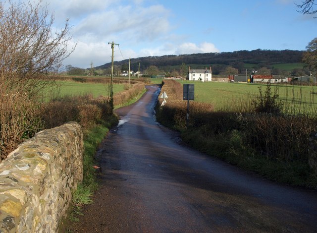
Image: © Derek Harper Taken: 26 Jan 2012
A similar view to Image, looking up the lane from Cherry Bridge towards Kains Park Farm in Image Beyond are houses on the A373 east of Awliscombe.
Images are licensed for reuse under creativecommons.org/licenses/by-sa/2.0
Image Location
Latitude
50.799991
Longitude
-3.222139