Grass field by the Wolf
Introduction
The photograph on this page of Grass field by the Wolf by Derek Harper as part of the Geograph project.
The Geograph project started in 2005 with the aim of publishing, organising and preserving representative images for every square kilometre of Great Britain, Ireland and the Isle of Man.

There are currently over 7.5m images from over 14,400 individuals and you can help contribute to the project by visiting https://www.geograph.org.uk
Grass field by the Wolf
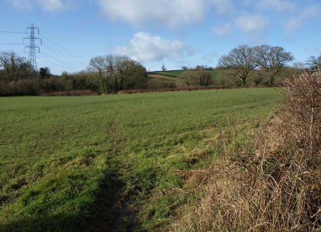
Image: © Derek Harper Taken: 26 Jan 2012
The River Wolf runs along the left side of this field; Tape Lane runs along the far side in this image and fords the river before passing the pylon. The view is from Weston Lane.
Images are licensed for reuse under creativecommons.org/licenses/by-sa/2.0
Image Location
Latitude
50.800515
Longitude
-3.223571