Earls Meadow
Introduction
The photograph on this page of Earls Meadow by Keith Evans as part of the Geograph project.
The Geograph project started in 2005 with the aim of publishing, organising and preserving representative images for every square kilometre of Great Britain, Ireland and the Isle of Man.

There are currently over 7.5m images from over 14,400 individuals and you can help contribute to the project by visiting https://www.geograph.org.uk
Earls Meadow
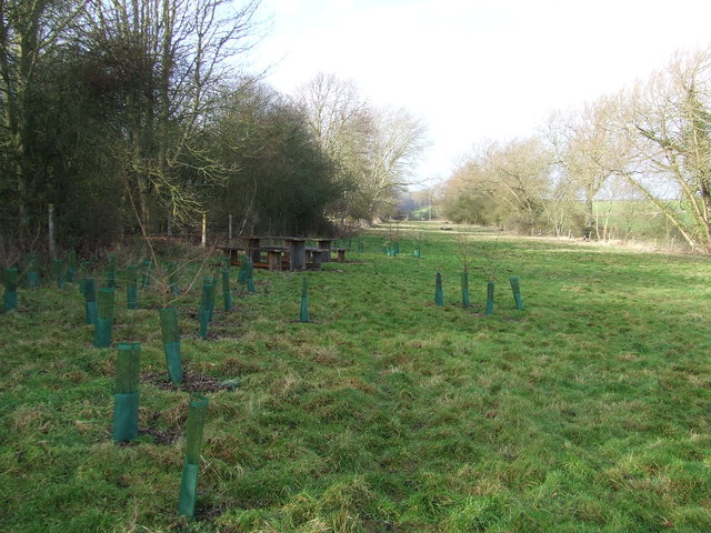
Image: © Keith Evans Taken: 22 Jan 2012
Long strip of land purchased by the local community for community use near to Cockfield, Suffolk. See http://www.geograph.org.uk/photo/2784055 for view from the other end.
Images are licensed for reuse under creativecommons.org/licenses/by-sa/2.0
Image Location
Latitude
52.148658
Longitude
0.789359