Field near Hunthay Farm
Introduction
The photograph on this page of Field near Hunthay Farm by Derek Harper as part of the Geograph project.
The Geograph project started in 2005 with the aim of publishing, organising and preserving representative images for every square kilometre of Great Britain, Ireland and the Isle of Man.

There are currently over 7.5m images from over 14,400 individuals and you can help contribute to the project by visiting https://www.geograph.org.uk
Field near Hunthay Farm
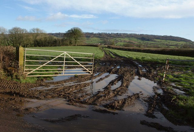
Image: © Derek Harper Taken: 26 Jan 2012
Taken at the foot of the hill shown Image, looking to the right, with a very muddy entrance. In the distance is St Cyres' Hill.
Images are licensed for reuse under creativecommons.org/licenses/by-sa/2.0
Image Location
Latitude
50.811249
Longitude
-3.245994