Towards Curscombe Farm
Introduction
The photograph on this page of Towards Curscombe Farm by Derek Harper as part of the Geograph project.
The Geograph project started in 2005 with the aim of publishing, organising and preserving representative images for every square kilometre of Great Britain, Ireland and the Isle of Man.

There are currently over 7.5m images from over 14,400 individuals and you can help contribute to the project by visiting https://www.geograph.org.uk
Towards Curscombe Farm
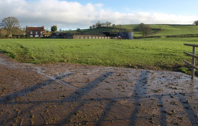
Image: © Derek Harper Taken: 26 Jan 2012
A view across a concrete field entrance from the lane from Feniton. Apart from the slurry tank on the right, all the visible structures at the farm are in Image
Images are licensed for reuse under creativecommons.org/licenses/by-sa/2.0
Image Location
Latitude
50.801553
Longitude
-3.261205