Aldbourne Warren Farm from the Downs near Upper Upham
Introduction
The photograph on this page of Aldbourne Warren Farm from the Downs near Upper Upham by Vieve Forward as part of the Geograph project.
The Geograph project started in 2005 with the aim of publishing, organising and preserving representative images for every square kilometre of Great Britain, Ireland and the Isle of Man.

There are currently over 7.5m images from over 14,400 individuals and you can help contribute to the project by visiting https://www.geograph.org.uk
Aldbourne Warren Farm from the Downs near Upper Upham
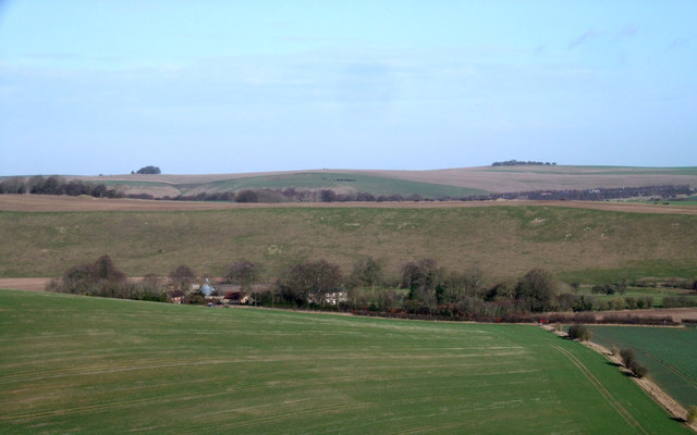
Image: © Vieve Forward Taken: 27 Jan 2012
The views from the byway on the Downs leading past Giant's Grave to Upper Upham are magnificent. Aldbourne Warren Farm can be seen beside the B4192 in the valley, with Sugar Hill behind it, and the M4 motorway in the distance.
Images are licensed for reuse under creativecommons.org/licenses/by-sa/2.0
Image Location


Leaflet Map data © OpenStreetMap
Latitude
51.497373
Longitude
-1.654943