Selman Park
Introduction
The photograph on this page of Selman Park by Andrew Curtis as part of the Geograph project.
The Geograph project started in 2005 with the aim of publishing, organising and preserving representative images for every square kilometre of Great Britain, Ireland and the Isle of Man.

There are currently over 7.5m images from over 14,400 individuals and you can help contribute to the project by visiting https://www.geograph.org.uk
Selman Park
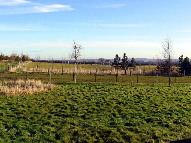
Image: © Andrew Curtis Taken: 28 Jan 2012
A playing field, situated near the house of Denholme, provided by Heddon-on-the-Wall Parish Council chaired by the late Brian Selman. It is in regular use for matches and training by Heddon St Andrews Football Club, a junior club founded in 1996 http://www.clubwebsite.co.uk/heddonstandrewsfc01/ A club catering for seniors has recently formed and currently plays in North East Sunday League Division E http://www.webteams.co.uk/Home.aspx?team=heddonstandrewsseniors
Images are licensed for reuse under creativecommons.org/licenses/by-sa/2.0
Image Location
Latitude
55.007101
Longitude
-1.789679