Former bridge over Kent Coast Line
Introduction
The photograph on this page of Former bridge over Kent Coast Line by Oast House Archive as part of the Geograph project.
The Geograph project started in 2005 with the aim of publishing, organising and preserving representative images for every square kilometre of Great Britain, Ireland and the Isle of Man.

There are currently over 7.5m images from over 14,400 individuals and you can help contribute to the project by visiting https://www.geograph.org.uk
Former bridge over Kent Coast Line
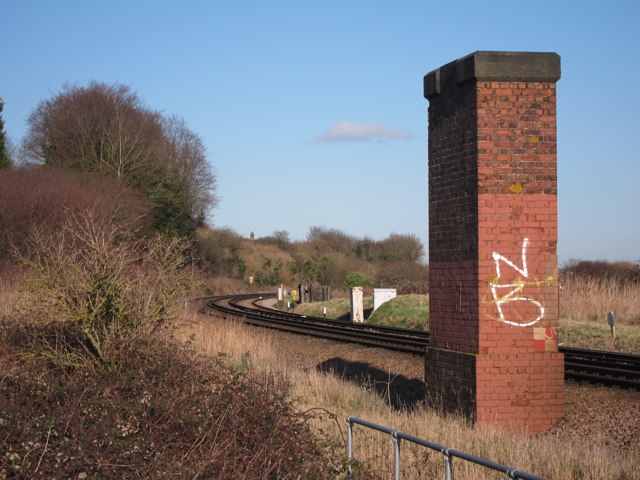
Image: © Oast House Archive Taken: 27 Jan 2012
Old brick bridge supports which once carried the East Kent Light Railway to Richborough port.
Images are licensed for reuse under creativecommons.org/licenses/by-sa/2.0
Image Location
Latitude
51.288272
Longitude
1.328295