Road to Penycwm
Introduction
The photograph on this page of Road to Penycwm by Martyn Harries as part of the Geograph project.
The Geograph project started in 2005 with the aim of publishing, organising and preserving representative images for every square kilometre of Great Britain, Ireland and the Isle of Man.

There are currently over 7.5m images from over 14,400 individuals and you can help contribute to the project by visiting https://www.geograph.org.uk
Road to Penycwm
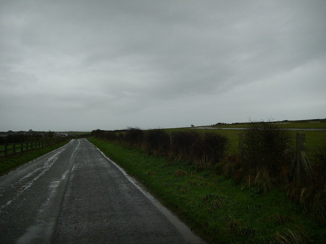
Image: © Martyn Harries Taken: 1 Jan 2012
This section of the road to Penycwm from Trefgarn Owen is within the grid square. The disused runway of the former airbase, R.A.F. Brawdy, can be seen alongside the road.
Images are licensed for reuse under creativecommons.org/licenses/by-sa/2.0
Image Location
Latitude
51.87171
Longitude
-5.123258