Maes-y-ffynon semis, Bonvilston
Introduction
The photograph on this page of Maes-y-ffynon semis, Bonvilston by Jaggery as part of the Geograph project.
The Geograph project started in 2005 with the aim of publishing, organising and preserving representative images for every square kilometre of Great Britain, Ireland and the Isle of Man.

There are currently over 7.5m images from over 14,400 individuals and you can help contribute to the project by visiting https://www.geograph.org.uk
Maes-y-ffynon semis, Bonvilston
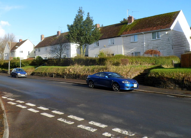
Image: © Jaggery Taken: 27 Jan 2012
Houses in the middle section of Maes-y-ffynon, viewed from the turning into the residential cul-de-sac Village Farm.
Images are licensed for reuse under creativecommons.org/licenses/by-sa/2.0
Image Location
Latitude
51.458178
Longitude
-3.342844