Eastern boundary of Bonvilston
Introduction
The photograph on this page of Eastern boundary of Bonvilston by Jaggery as part of the Geograph project.
The Geograph project started in 2005 with the aim of publishing, organising and preserving representative images for every square kilometre of Great Britain, Ireland and the Isle of Man.

There are currently over 7.5m images from over 14,400 individuals and you can help contribute to the project by visiting https://www.geograph.org.uk
Eastern boundary of Bonvilston
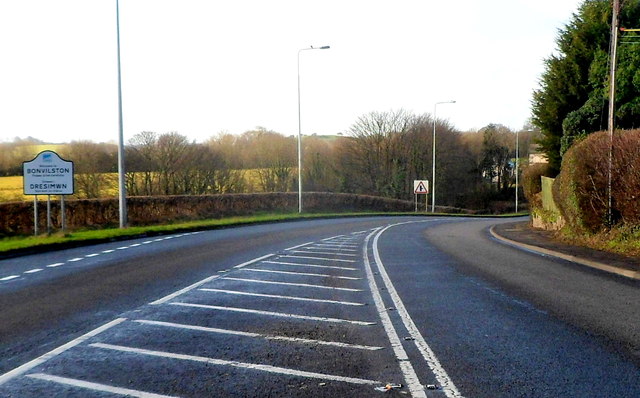
Image: © Jaggery Taken: 27 Jan 2012
The A48, between Cardiff and Cowbridge, reaches the boundary sign at the eastern edge of the village of Bonvilston, Vale of Glamorgan. The village is named after Simon de Bonville, a Norman nobleman. The Welsh name of the village shown on the sign is Dresimwn (Simon's town).
Images are licensed for reuse under creativecommons.org/licenses/by-sa/2.0
Image Location
Latitude
51.458243
Longitude
-3.337088