Wolds Farmland near Thixendale Grange
Introduction
The photograph on this page of Wolds Farmland near Thixendale Grange by Martin Dawes as part of the Geograph project.
The Geograph project started in 2005 with the aim of publishing, organising and preserving representative images for every square kilometre of Great Britain, Ireland and the Isle of Man.

There are currently over 7.5m images from over 14,400 individuals and you can help contribute to the project by visiting https://www.geograph.org.uk
Wolds Farmland near Thixendale Grange
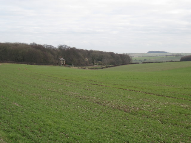
Image: © Martin Dawes Taken: 15 Jan 2012
The farm lies in the wood behind the cottages, the land is now dropping toward Milham Dale
Images are licensed for reuse under creativecommons.org/licenses/by-sa/2.0
Image Location
Latitude
54.037454
Longitude
-0.755519