Whiteparish Primary School
Introduction
The photograph on this page of Whiteparish Primary School by Maigheach-gheal as part of the Geograph project.
The Geograph project started in 2005 with the aim of publishing, organising and preserving representative images for every square kilometre of Great Britain, Ireland and the Isle of Man.

There are currently over 7.5m images from over 14,400 individuals and you can help contribute to the project by visiting https://www.geograph.org.uk
Whiteparish Primary School
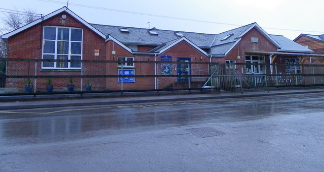
Image: © Maigheach-gheal Taken: 27 Jan 2012
The school was established in 1842, and has been considerably expanded in recent years and can accommodate up to 110 children.
Images are licensed for reuse under creativecommons.org/licenses/by-sa/2.0
Image Location
Latitude
51.008112
Longitude
-1.650601