The other side of the tracks
Introduction
The photograph on this page of The other side of the tracks by John H Darch as part of the Geograph project.
The Geograph project started in 2005 with the aim of publishing, organising and preserving representative images for every square kilometre of Great Britain, Ireland and the Isle of Man.

There are currently over 7.5m images from over 14,400 individuals and you can help contribute to the project by visiting https://www.geograph.org.uk
The other side of the tracks
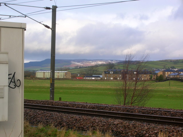
Image: © John H Darch Taken: 26 Jan 2012
The flood plain of the River Aire creates a green belt between railway and housing.
Images are licensed for reuse under creativecommons.org/licenses/by-sa/2.0
Image Location
Latitude
53.914558
Longitude
-2.00651