Macclesfield Canal Bridge No.25 from Holehouse Lane Carpark
Introduction
The photograph on this page of Macclesfield Canal Bridge No.25 from Holehouse Lane Carpark by Peter Turner as part of the Geograph project.
The Geograph project started in 2005 with the aim of publishing, organising and preserving representative images for every square kilometre of Great Britain, Ireland and the Isle of Man.

There are currently over 7.5m images from over 14,400 individuals and you can help contribute to the project by visiting https://www.geograph.org.uk
Macclesfield Canal Bridge No.25 from Holehouse Lane Carpark
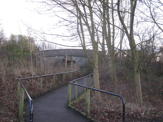
Image: © Peter Turner Taken: 26 Jan 2012
A handy municipal carpark for walks in all directions and The Windmill is round the corner for refreshment.
Images are licensed for reuse under creativecommons.org/licenses/by-sa/2.0
Image Location
Latitude
53.306902
Longitude
-2.110562