Centre of Bathley
Introduction
The photograph on this page of Centre of Bathley by Trevor Rickard as part of the Geograph project.
The Geograph project started in 2005 with the aim of publishing, organising and preserving representative images for every square kilometre of Great Britain, Ireland and the Isle of Man.

There are currently over 7.5m images from over 14,400 individuals and you can help contribute to the project by visiting https://www.geograph.org.uk
Centre of Bathley
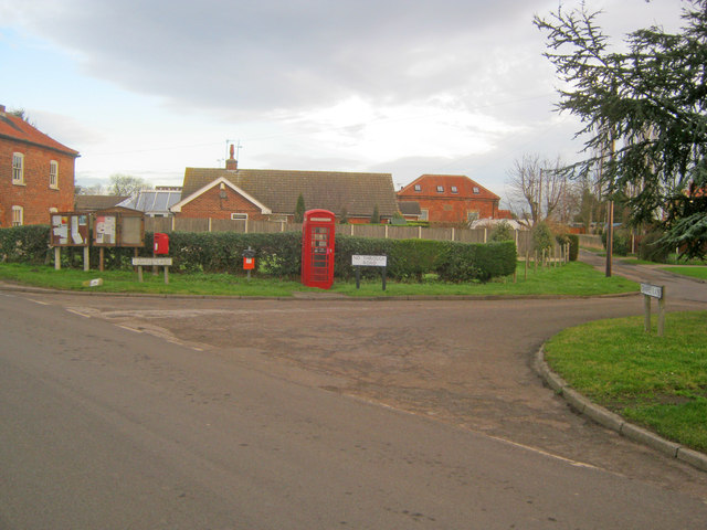
Image: © Trevor Rickard Taken: 9 Jan 2012
Looking north on Main Street to the phone box and village notice board. Chapel Lane leads off to the right, where the 1844 Methodist Chapel has been converted into a private house.
Images are licensed for reuse under creativecommons.org/licenses/by-sa/2.0
Image Location
Latitude
53.123224
Longitude
-0.83872