Former railway line, Budleigh Salterton
Introduction
The photograph on this page of Former railway line, Budleigh Salterton by Derek Harper as part of the Geograph project.
The Geograph project started in 2005 with the aim of publishing, organising and preserving representative images for every square kilometre of Great Britain, Ireland and the Isle of Man.

There are currently over 7.5m images from over 14,400 individuals and you can help contribute to the project by visiting https://www.geograph.org.uk
Former railway line, Budleigh Salterton
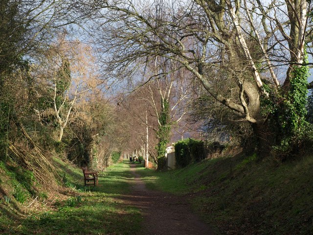
Image: © Derek Harper Taken: 21 Jan 2012
Providing a useful footpath between Upper Stoneborough Lane and East Budleigh Road, although it's not shown as such on the maps. This runs between properties on Honey Park Road (left) and East Budleigh Road.
Images are licensed for reuse under creativecommons.org/licenses/by-sa/2.0
Image Location
Latitude
50.635429
Longitude
-3.319962