The Red Lion, Lower Halliford
Introduction
The photograph on this page of The Red Lion, Lower Halliford by mike smith as part of the Geograph project.
The Geograph project started in 2005 with the aim of publishing, organising and preserving representative images for every square kilometre of Great Britain, Ireland and the Isle of Man.

There are currently over 7.5m images from over 14,400 individuals and you can help contribute to the project by visiting https://www.geograph.org.uk
The Red Lion, Lower Halliford
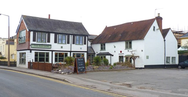
Image: © mike smith Taken: 22 Jan 2012
There has been a "Red Lion" on this site since the 18th century. Whilst the building to the rear may date from that time, the one fronting the road is of comparatively modern construction.
Images are licensed for reuse under creativecommons.org/licenses/by-sa/2.0
Image Location
Latitude
51.390164
Longitude
-0.443173