Converted almshouses, Ockham Lane
Introduction
The photograph on this page of Converted almshouses, Ockham Lane by Robin Webster as part of the Geograph project.
The Geograph project started in 2005 with the aim of publishing, organising and preserving representative images for every square kilometre of Great Britain, Ireland and the Isle of Man.

There are currently over 7.5m images from over 14,400 individuals and you can help contribute to the project by visiting https://www.geograph.org.uk
Converted almshouses, Ockham Lane
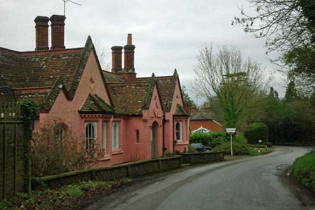
Image: © Robin Webster Taken: 25 Jan 2012
Originally built as four almshouses, it appears to be knocked into one dwelling now. The sign tells us a sale has been agreed on it.
Images are licensed for reuse under creativecommons.org/licenses/by-sa/2.0
Image Location
Latitude
51.307955
Longitude
-0.435053