Wind turbine, Mallusk, Newtownabbey (2)
Introduction
The photograph on this page of Wind turbine, Mallusk, Newtownabbey (2) by Albert Bridge as part of the Geograph project.
The Geograph project started in 2005 with the aim of publishing, organising and preserving representative images for every square kilometre of Great Britain, Ireland and the Isle of Man.

There are currently over 7.5m images from over 14,400 individuals and you can help contribute to the project by visiting https://www.geograph.org.uk
Wind turbine, Mallusk, Newtownabbey (2)
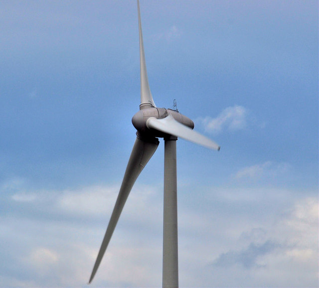
Image: © Albert Bridge Taken: 25 Jan 2012
See Image A closer look at the blades turning in a stiff breeze. The old one-inch map shows a nearby spot height of 387 ft. The surrounding area is flat. This photograph appears as a matter of neutral record only and should not be interpreted as expressing any opinion, for or against, the turbine. Image shows the view from the Roughfort Road.
Images are licensed for reuse under creativecommons.org/licenses/by-sa/2.0
Image Location
Latitude
54.686437
Longitude
-6.015022