Wharncliffe Woodmoor 1,2, and 3 Soil Heap
Introduction
The photograph on this page of Wharncliffe Woodmoor 1,2, and 3 Soil Heap by Martin Lee as part of the Geograph project.
The Geograph project started in 2005 with the aim of publishing, organising and preserving representative images for every square kilometre of Great Britain, Ireland and the Isle of Man.

There are currently over 7.5m images from over 14,400 individuals and you can help contribute to the project by visiting https://www.geograph.org.uk
Wharncliffe Woodmoor 1,2, and 3 Soil Heap
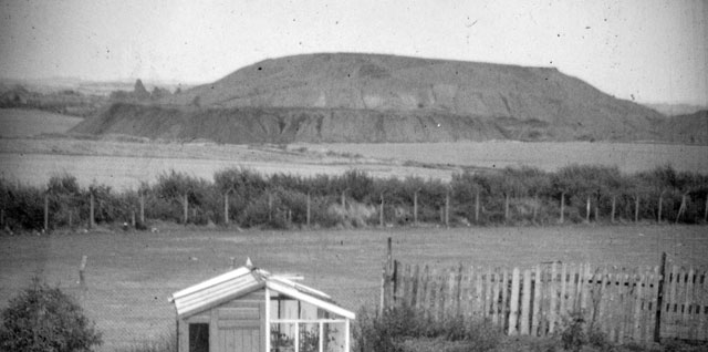
Image: © Martin Lee Taken: Unknown
After the pit closed work began on reclamation of the land. Charlton Church visible on the left had almost been obscured from my viewing position prior to the work commencing. The tree lined area in the foreground is of the single track mineral line that ran from the colliery and joined the old LNER line near to what used to be Staincross Station.
Images are licensed for reuse under creativecommons.org/licenses/by-sa/2.0
Image Location
Latitude
53.585637
Longitude
-1.459935