Lew valley
Introduction
The photograph on this page of Lew valley by Derek Harper as part of the Geograph project.
The Geograph project started in 2005 with the aim of publishing, organising and preserving representative images for every square kilometre of Great Britain, Ireland and the Isle of Man.

There are currently over 7.5m images from over 14,400 individuals and you can help contribute to the project by visiting https://www.geograph.org.uk
Lew valley
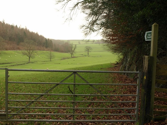
Image: © Derek Harper Taken: 20 Jan 2012
Here occupied by sheep grazing. The footpath, Northlew Footpath 57, keeps to the edge on Hanginghill Wood on the right. Complementing it on the other side of the valley, below Ten Acre Plantation, is the lane to Wadland Barton.
Images are licensed for reuse under creativecommons.org/licenses/by-sa/2.0
Image Location
Latitude
50.756965
Longitude
-4.116645