The Old School House, South Gorley
Introduction
The photograph on this page of The Old School House, South Gorley by Maigheach-gheal as part of the Geograph project.
The Geograph project started in 2005 with the aim of publishing, organising and preserving representative images for every square kilometre of Great Britain, Ireland and the Isle of Man.

There are currently over 7.5m images from over 14,400 individuals and you can help contribute to the project by visiting https://www.geograph.org.uk
The Old School House, South Gorley
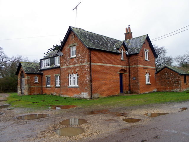
Image: © Maigheach-gheal Taken: 24 Jan 2012
The building stands on the village green of the small village on the edge of the New Forest National Park. There is an Ordnance Survey bench mark on the south east face.
Images are licensed for reuse under creativecommons.org/licenses/by-sa/2.0
Image Location


Leaflet Map data © OpenStreetMap
Latitude
50.894295
Longitude
-1.770178