Houses at Portreath
Introduction
The photograph on this page of Houses at Portreath by Graham Horn as part of the Geograph project.
The Geograph project started in 2005 with the aim of publishing, organising and preserving representative images for every square kilometre of Great Britain, Ireland and the Isle of Man.

There are currently over 7.5m images from over 14,400 individuals and you can help contribute to the project by visiting https://www.geograph.org.uk
Houses at Portreath
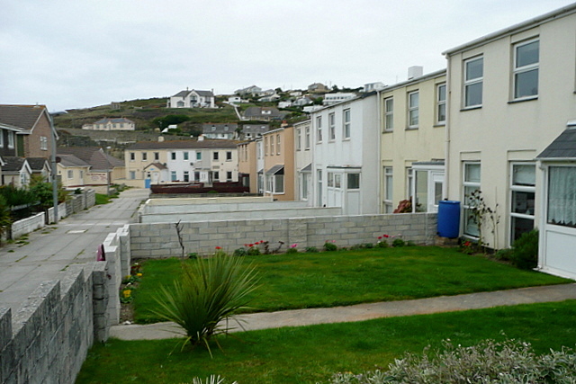
Image: © Graham Horn Taken: 21 Oct 2011
These seem to face each other 'back-to-back' with this path rather than a road running between the front gardens.
Images are licensed for reuse under creativecommons.org/licenses/by-sa/2.0
Image Location
Latitude
50.260857
Longitude
-5.29079